

約26.7万棟を収めたソウルのインタラクティブ3Dミニチュア(Three.js)
GPT-6 Astraがオープンな地図データからソウル全区をThree.jsで再現。ランドマークの自動ツアーと昼・夕方・夜モード付きです。
Claude Code + Three.js(コードのみ)Wandy 2
精細な3Dモデルを作ろう
コードだけでは単純な形しか作れません。Wandy 2なら写真1枚から、同じシーンで使えるテクスチャ付き3Dモデルを作れます。
Wandy3Dによる制作ブリーフ
作者がプロンプトを公開していないため、この作品を再現する方法を私たちがまとめました。
Build an interactive 3D miniature of an entire city and its surroundings as a web app using Three.js. Generate simplified extruded buildings from open map data footprints, with estimated heights where data is missing, and add terrain, rivers and roads from open elevation and map tiles. Exaggerate terrain and building heights so the skyline reads clearly. Provide rotate, zoom and pan controls with touch support on mobile, a side panel listing landmarks, and an automated fly-through that visits each landmark with an info card. Add day, sunset and night lighting modes. Show district boundaries and credit the data sources on screen. Keep the UI clean and light, with a green accent and bilingual labels. Optimize for performance with hundreds of thousands of simple buildings. Done when the whole city loads, the camera tour runs through all landmarks and the three lighting modes switch smoothly.
このプロンプトの使い方
コーディングツールのGPT-6 Astraにビルドブリーフを渡し、地図化したい都市を指定します。
都市、ランドマーク、高さの誇張率、照明モード、UIの言語を変えます。
公開後、建物の簡略化やモバイルでの動作をAstraに最適化させます。
元の投稿作者の方ですか? このページの修正・削除をご依頼ください
似ているプロンプト
すべてのプロンプトを見る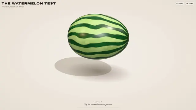 Claude Opus 5.5
輪ゴムスイカ実験を再現した、弾ける3Dブラウザおもちゃ
林悦己Cheer
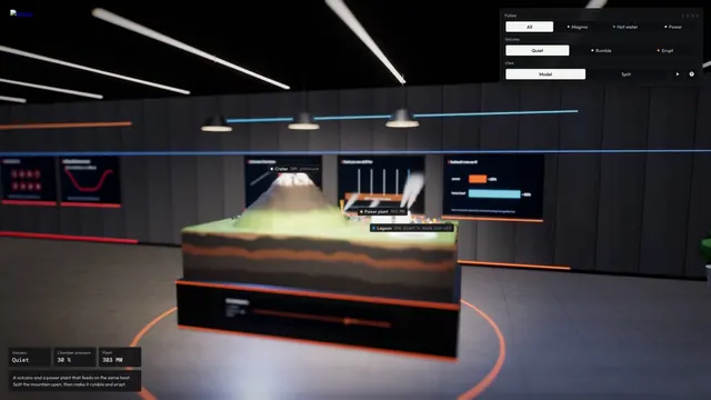 Claude Opus 5.5
マグマだまりを備えたインタラクティブ3D火山断面シミュレーション
Konstantin Saifoulline
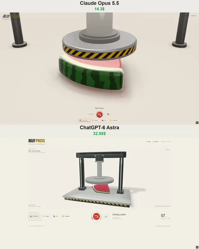 Claude Opus 5.5
WebGPUのゼリープレス:油圧プレスで潰れて弾けるフルーツゼリー
Vib3Coded
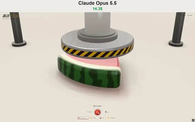 Claude Opus 5.5
WebGPUで動くジェリープレス玩具:果物グミを潰して投げる
Vib3Coded
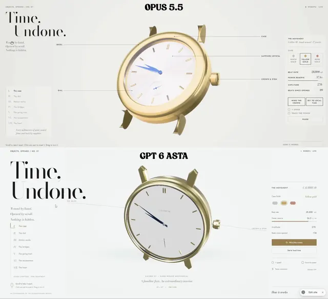 Claude Opus 5.5
スクロールで分解される機械式腕時計、WebGPUの単一HTML
Paruchh
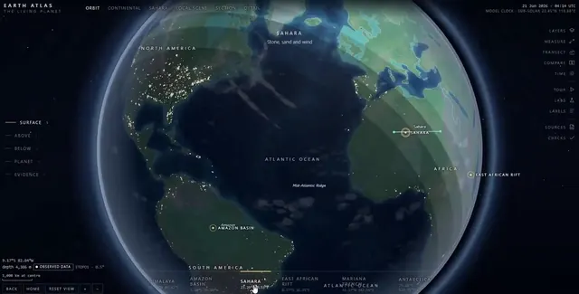 Claude Opus 5.5
地球儀・探検・内部断面を備えた単一ファイルのSVGインタラクティブ地球アトラス
Gadgetify