

包含26.7万栋建筑的首尔交互式3D微缩模型(Three.js)
GPT-6 Astra 基于开放地图数据,用 Three.js 构建了首尔全部行政区的图集,带地标自动游览和日间、日落、夜间模式。
Claude Code + Three.js(仅代码)Wandy 2
创建精细的 3D 模型
单靠代码只能做出简单的形状。Wandy 2 能用一张照片生成带纹理的 3D 模型,直接用在同一个场景里。
Wandy3D 制作说明
作者没有公开提示词,因此我们写下了复现这个作品的方法。
Build an interactive 3D miniature of an entire city and its surroundings as a web app using Three.js. Generate simplified extruded buildings from open map data footprints, with estimated heights where data is missing, and add terrain, rivers and roads from open elevation and map tiles. Exaggerate terrain and building heights so the skyline reads clearly. Provide rotate, zoom and pan controls with touch support on mobile, a side panel listing landmarks, and an automated fly-through that visits each landmark with an info card. Add day, sunset and night lighting modes. Show district boundaries and credit the data sources on screen. Keep the UI clean and light, with a green accent and bilingual labels. Optimize for performance with hundreds of thousands of simple buildings. Done when the whole city loads, the camera tour runs through all landmarks and the three lighting modes switch smoothly.
如何使用这条提示词
在编程工具中把构建说明交给 GPT-6 Astra,并指明想制作的城市。
修改城市、地标列表、高度夸张倍数、光照模式或界面语言。
部署后让 Astra 继续优化建筑简化程度和手机端性能。
原帖你是作者吗? 请联系我们修改或删除此页面
相似的提示词
浏览全部提示词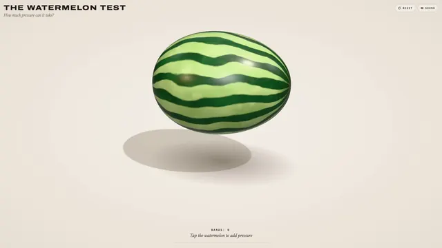 Claude Opus 5.5
皮筋捆西瓜实验:可挤压、会爆开的 3D 浏览器小玩具
林悦己Cheer
 Claude Opus 5.5
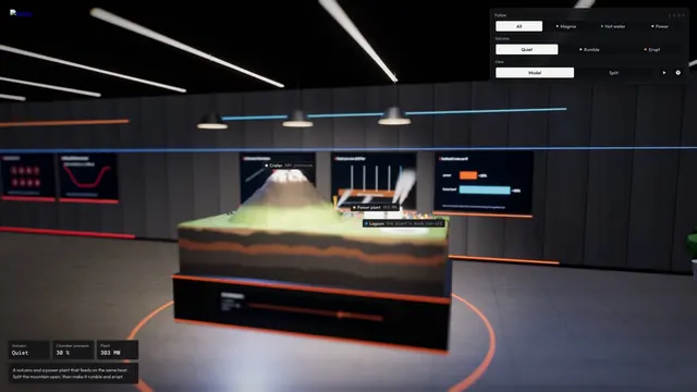
带岩浆房的交互式 3D 火山剖面模拟
Konstantin Saifoulline
 Claude Opus 5.5
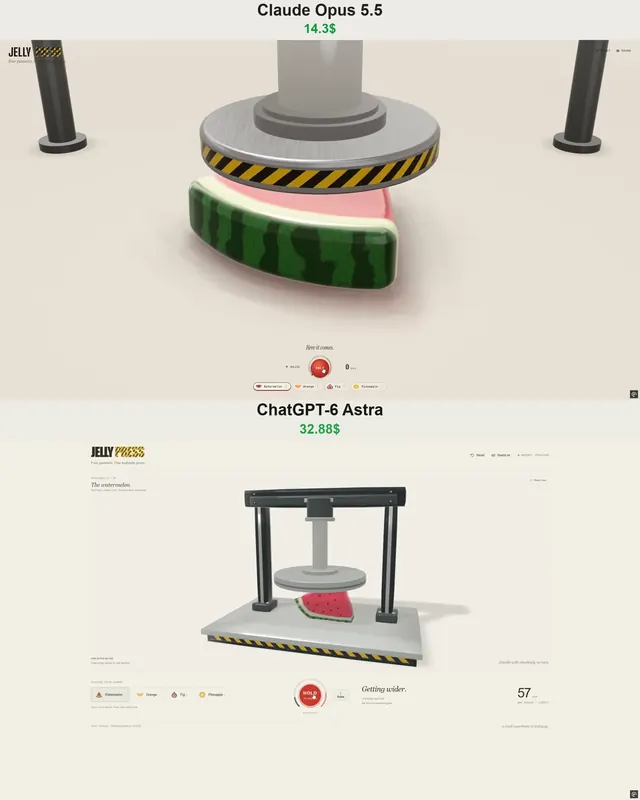
WebGPU 果冻压机玩具:水果软糖被液压机压碎
Vib3Coded
 Claude Opus 5.5
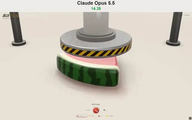
WebGPU果冻压机玩具:压碎软糖水果片并抓取投掷
Vib3Coded
 Claude Opus 5.5
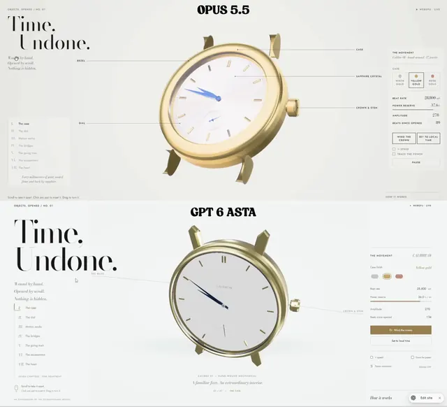
滚动即可拆解的机械腕表:纯WebGPU单HTML文件
Paruchh
 Claude Opus 5.5
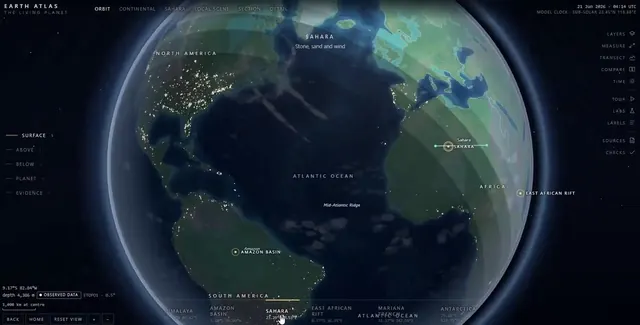
单文件交互式 SVG 地球图集:地球仪、六大考察与内部剖面
Gadgetify